spaghetti
SPAtial GrapHs: nETworks, Topology, & Inference
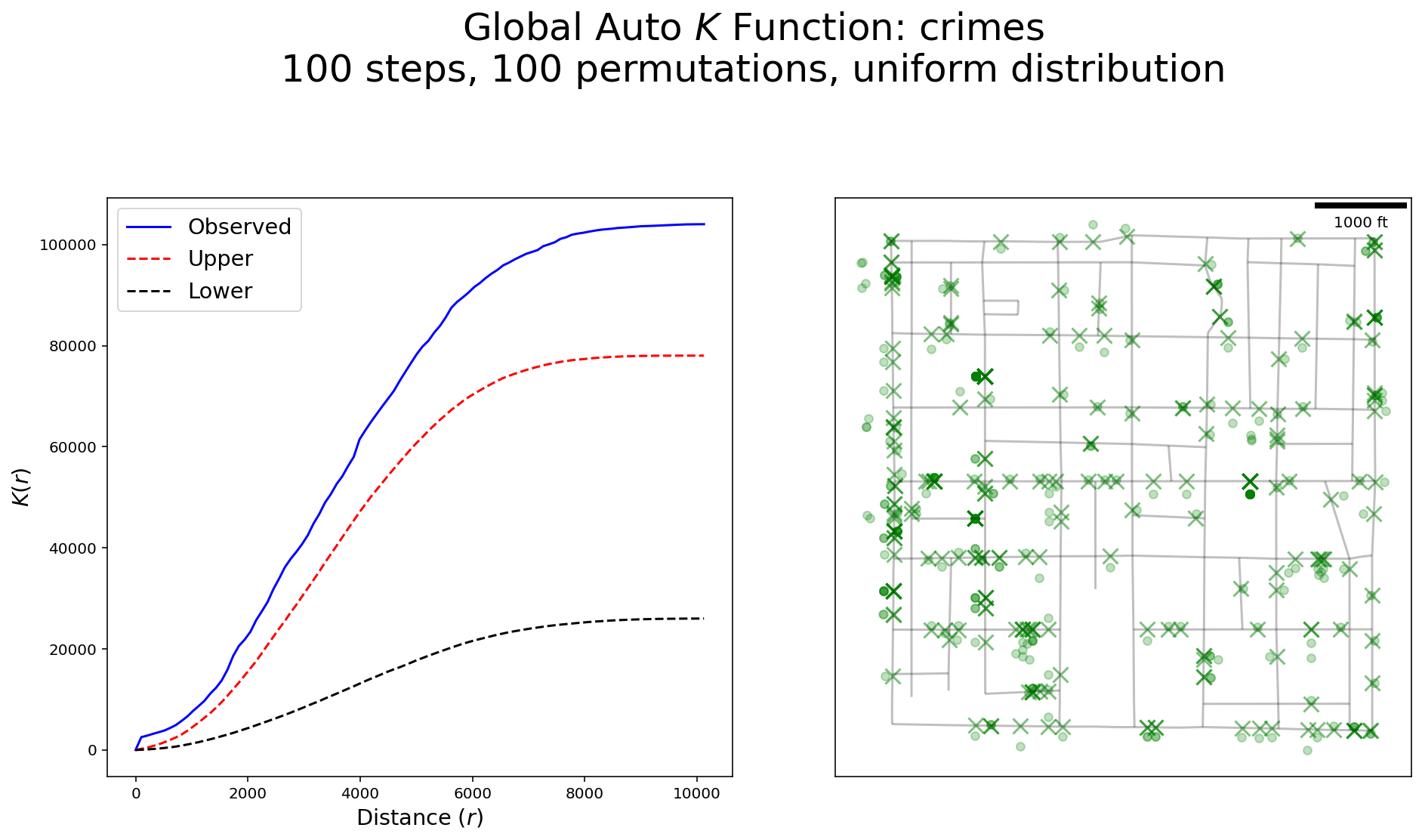
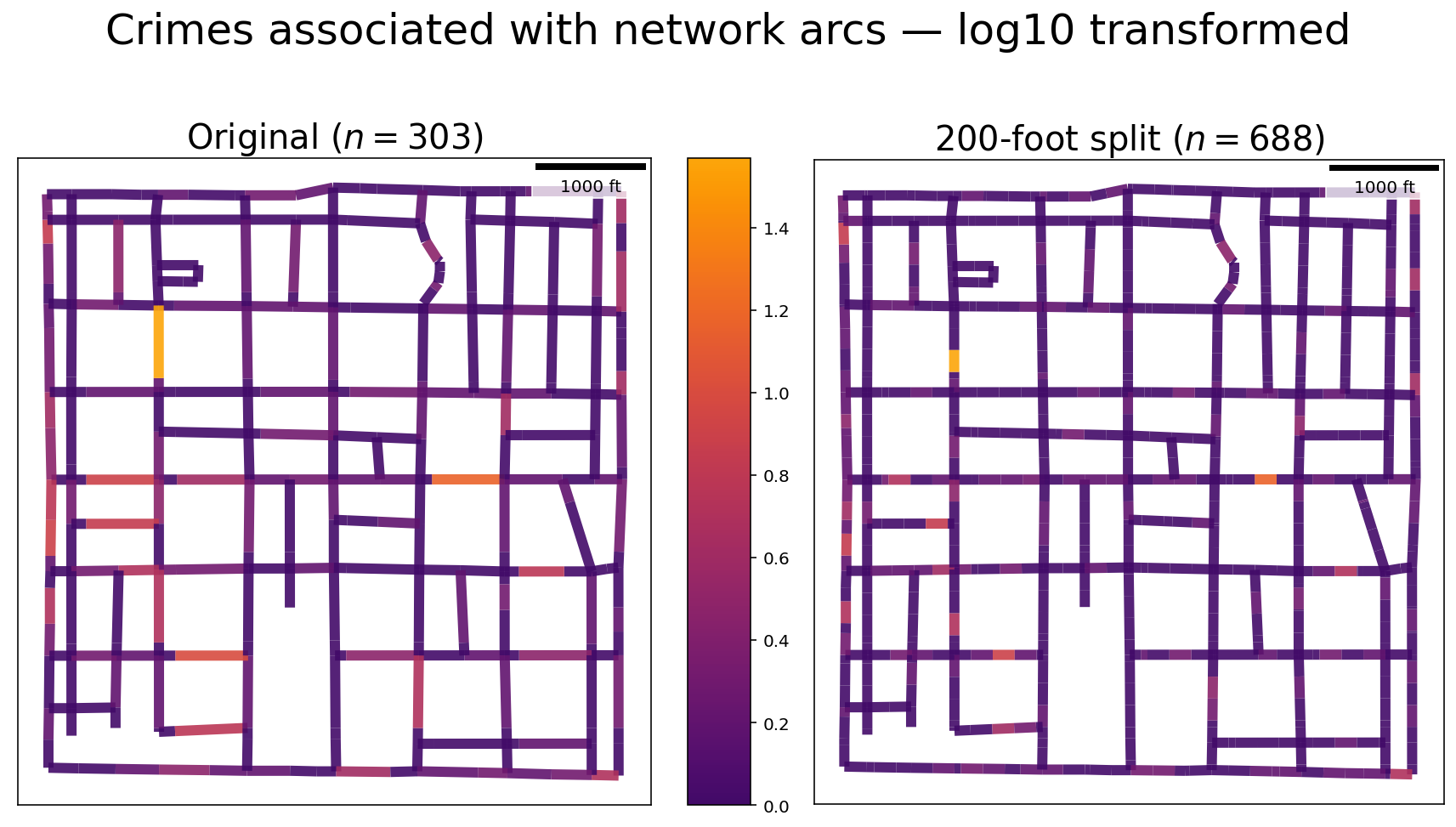
Spaghetti is an open-source Python library for the analysis of network-based spatial data. Originating from the network module in PySAL (Python Spatial Analysis Library), it is under active development for the inclusion of newly proposed methods for building graph-theoretic networks and the analysis of network events. An installation guide, API reference, and usage tutorials are provided here through the links above.
Citing spaghetti
If you use PySAL-spaghetti in a scientific publication, we would appreciate using the following BibTeX citation:
@misc{Gaboardi2018,
author = {Gaboardi, James D. and Laura, Jay and Rey, Sergio and
Wolf, Levi John and Folch, David C. and Kang, Wei and
Stephens, Philip and Schmidt, Charles},
month = {oct},
year = {2018},
title = {pysal/spaghetti},
url = {https://github.com/pysal/spaghetti},
doi = {10.5281/zenodo.1343650},
keywords = {graph-theory,network-analysis,python,spatial-networks,topology}
}
Citing Work
Lovelace, R. Open source tools for geographic analysis in transport planning. J Geogr Syst (2021). https://doi.org/10.1007/s10109-020-00342-2.
Funding
This project is/was partially funded through:

The Atlanta Research Data Center: A Polygon-Based Approach to Spatial Network Allocation

National Science Foundation Award #1825768: National Historical Geographic Information System