
Access makes the new spatial access metric RAAM available and allows for comparison bewteen RAAM and classic spatial access models. It supports spatial access research scale by making pre-computed travel time matrices available and sharing code for computing new matrices at scale, and allows users who prefer a point-and-click interface to obtain spatial access results for their data using our web app (for US).
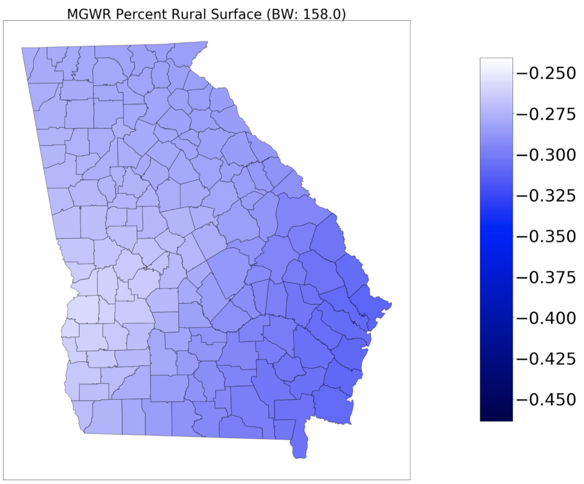
Mgwr provides scalable algorithms for estimation, inference, and prediction using single- and multi-scale geographically-weighted regression models in a variety of generalized linear model frameworks, as well model diagnostics tools
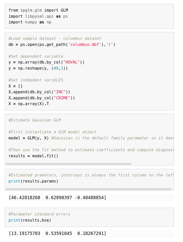
Spglm implements a set of generalized linear regression techniques, including Gaussian, Poisson, and Logistic regression, that allow for sparse matrix operations in their computation and estimation to lower memory overhead and decreased computation time.
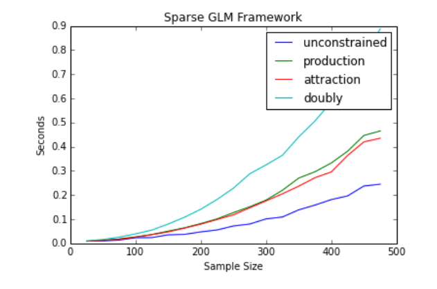
Spint provides a collection of tools to study spatial interaction processes and analyze spatial interaction data. It includes functionality to facilitate the calibration and interpretation of a family of gravity-type spatial interaction models, including those with *production* constraints, *attraction* constraints, or a combination of the two.
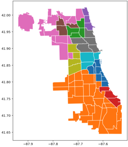
Spopt is an open-source Python library for solving optimization problems with spatial data. Originating from the region module in PySAL (Python Spatial Analysis Library), it is under active development for the inclusion of newly proposed models and methods for regionalization, facility location, and transportation-oriented solutions.
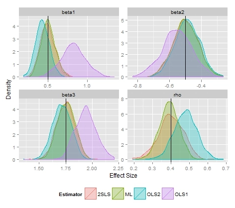
Spreg supports the estimation of classic and spatial regression models. Currently, it contains methods for estimating standard and spatial versions of models such as Ordinary Least Squares (OLS), Two Stage Least Squares (2SLS), Seemingly Unrelated Regressions (SUR), and Random and Fixed effects panels. Additionally, it offers various tests of homoskedasticity, normality, spatial randomness, and different types of spatial autocorrelation.
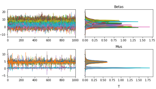
Spvcm provides a general framework for estimating spatially-correlated variance components models. This class of models allows for spatial dependence in the variance components, so that nearby groups may affect one another. It also also provides a general-purpose framework for estimating models using Gibbs sampling in Python, accelerated by the `numba` package.
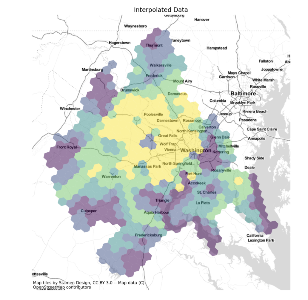
Tobler provides functionality for for areal interpolation and dasymetric mapping. Its name is an homage to the legendary geographer Waldo Tobler a pioneer of dozens of spatial analytical methods. Tobler includes functionality for interpolating data using area-weighted approaches, regression model-based approaches that leverage remotely-sensed raster data as auxiliary information, and hybrid approaches.